


Download This Map:
JPG High-Res JPG High-Res PDFAbout This Map
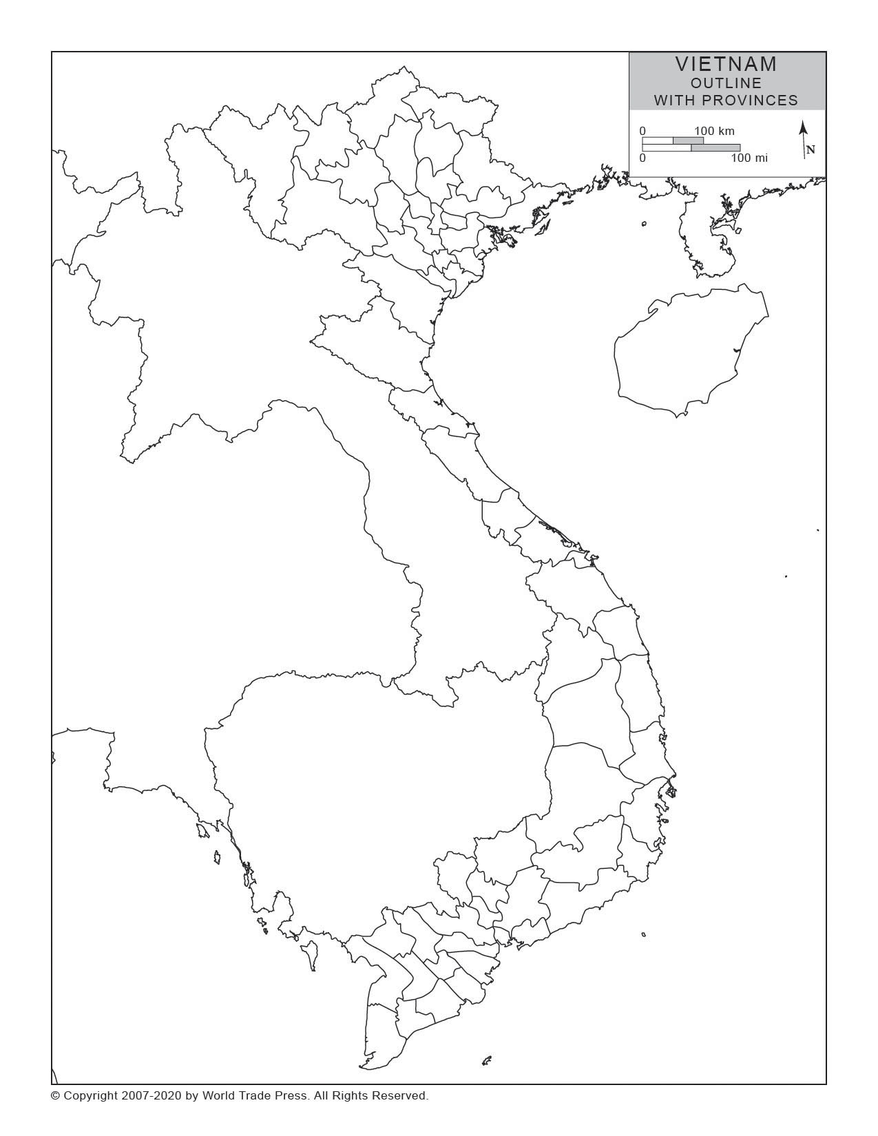
Title: Outline Map of Vietnam With Provincial/State Boundaries
Print Dimensions: 7.5 x 10.0 in
(19.1 x 25.4 cm)
Description
A simple outline map of Vietnam that includes provincial or state boundaries. Country border and provinces/states in outline.
Features on This Map
- Legend
- Country Boundary
- Coastline
- Provinces, Including Borders and Names: Borders Only
Copyright © 1993-2025 World Trade Press. All rights reserved.